


 8 192
8 192

1
●
AA, PIETER van der.
Canada ou Nouvelle France [on sheet with] La Floride.
Engraved map of the present-day United States and Canada. 550x410 mm, ample margins.
[circa 1713]
[200/300]
2
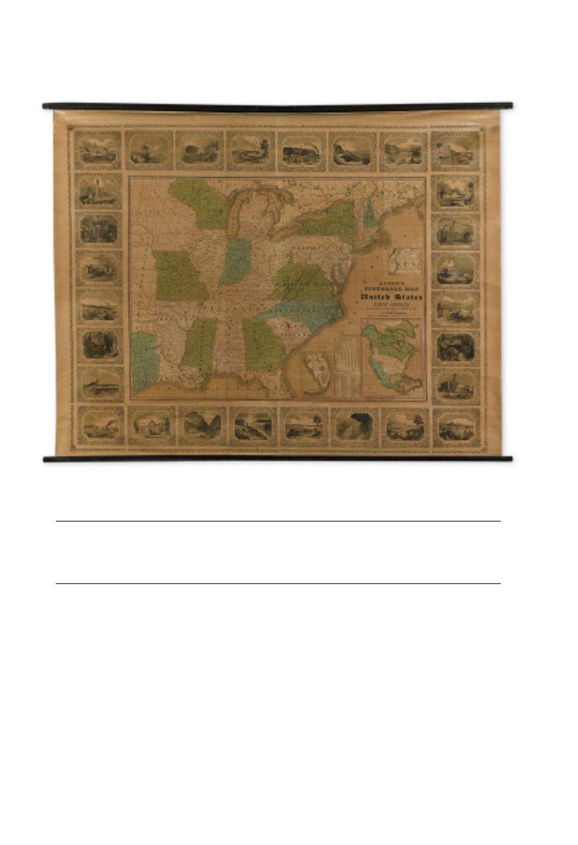
●
ALDEN,ALBERT.
Alden’s Pictorial Map of the United States of North America.
Large roll map of the eastern US, with pictorial vignette surround, mounted on original
wood dowels, but without canvas backing. 1120x1435 mm; one short clean split in the
middle of the map, however condition generally quite nice for this format.
Barre, Mass.:Alden, 1845
[1,000/1,500]
2
MAPS
LOTS 1-128