


 9 192
9 192

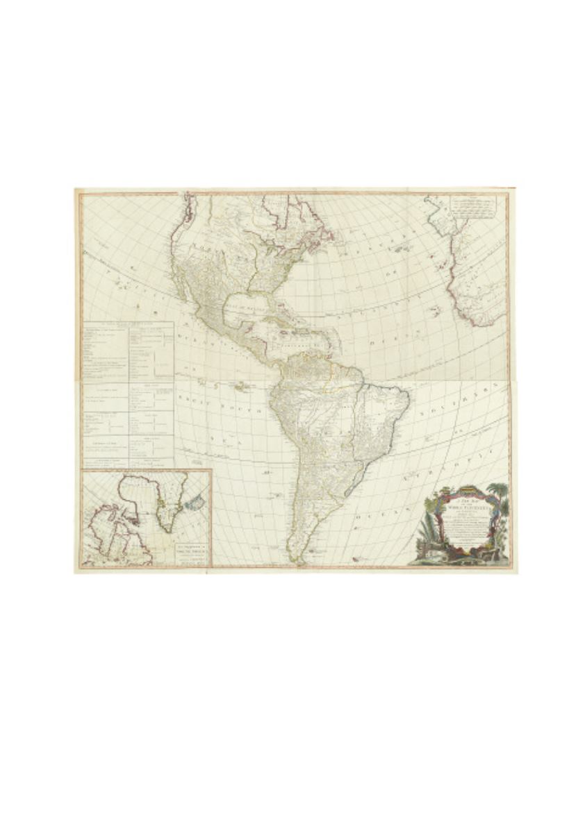
4
●
ANVILLE, JEAN BAPTISTE d’ (after).
A New Map of the Continent of Whole
Continent of America, Divided into North And South and West Indies.
Engraved
4-sheet map joined, 1050x1190 mm overall; old hand-color in outline; scattered very light
offsetting.
London: Laurie &Whittle, 1794
[1,200/1,800]
5
●
ANVILLE, JEAN BAPTISTE d’.
Amerique Septentrionale. [Top section only.]
Three-sheet engraved map of the present-day United States. 550x925 mm, wide margins;
light outline hand-coloring; toned, foxed.
Paris, 1746
[200/300]
6
●
(BAPTISM.) J. B. Lippincott & Co.
An Historical Chart on the Subject of Baptism.
Lithographed roll chart with images in text, mounted on linen and wood dowels, var-
nished. 770x1080 mm, few cracks at edges, varnish somewhat darkened.
Philadelphia, 1842
[200/300]
4
3
●
(AMERICAN REVOLUTION.)
A group of four engraved folding maps
from the 1770s and ‘80s,
depicting events and theaters of the American Revolution,
three extracted from the Gentleman’s Magazine, the other by William Faden. Roughly
330x410 mm sheet size; condition noted.
London, 1775-1780
[300/500]
A New Map of the present Seat of War in North America from a late Survey. (Toned.) * Position of
the Detachment under Lieutt. Coll. Baum, at Walmscock near Bennington. (Flattened.) * A New
and Accurate Map of the Province of NewYork and Part of the Jerseys, New England and Canada,
Shewing the Scenes of our Military Operations during the presentWar.Also the New Erected State of
Vermont. (Toned and linen-backed.) * Another example of the previous map.